Hulk Hikes · Mountain hiking guide
My mountains.
My hikes.
No copied lists: you’ll only find hikes here that I’ve done myself — with real data from my watch. Plus a few that are on my list.


Real, not staged — that’s me up there, between the hikes I’m showing you here.
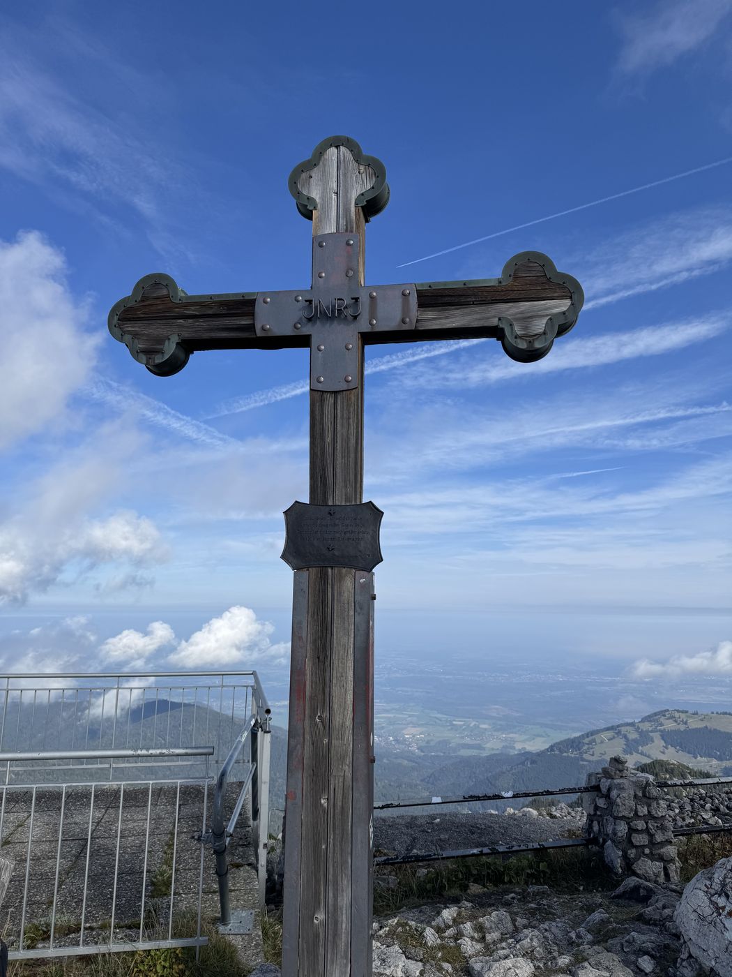
Wendelstein 1,838 m
Happy to have been above 1,800 meters
“The summit log is tucked away in a chapel.”
-
Up from Lower Sudelfeld, part of it unmarked — “we had to improvise”. From the inn it’s another good 100 m of elevation to the cross, and the summit log is in a chapel. you can read the whole loop on the hike page.
-
Took the first boat across the Königssee to Salet, then up the Sagereckersteig — quite demanding, T3 in places. At the top, still a good stretch over to the Schwarzensee. you can read the whole loop on the hike page.
-
Not the standard route, but straight up from the Weitsee — T3 the whole way, lots of switchbacks up to a high plateau, then dwarf pines and rock with roots at the top. “Then we spontaneously went for the 1st summit, actually only the Hörndlwand was planned” — in the end it was four crosses. you can read the whole loop on the hike page.
-
Long rather than steep: 17.9 km across the border into Austria to the Straubinger Haus, and from there another 40 minutes to the summit. The trailhead at the bottom is hard to find — narrow, inconspicuous, only faintly marked. At the top, though, the Wilder Kaiser — you can read the whole loop on the hike page.
-
Left at four, at the start of the route shortly before six — and so ahead of the crowds. Mostly difficulty C, harness and helmet are a must. The way down is a T4 path, and by nine you can already see the route getting jammed — you can read the whole loop on the hike page.
-
Left at four, up in the dark, at the summit cross around 5:15 — and then waiting until the sun came up at 6:34. Short and punchy, steep in places, but always a good path — you can read the whole loop on the hike page.
-
Very natural, remote and properly overgrown in places — no hiking highway. At the top, a really beautiful view of the Berchtesgaden Alps — you can read the whole loop on the hike page.
-
The viewing balcony above the Königssee: a short, punchy climb through the forest, at the top the view of the lake and the Watzmann east face — on the way, the Grünsteinhütte for a stop.
-
A quiet Chiemgau viewpoint above Siegsdorf: up through forest and across alpine meadows, at the top an open view over the Chiemsee. Low-key, not many people.
-
A ridge hike high above the Winklmoosalm: first an easy walk across the alpine pasture, then along the ridge with views into the Chiemgau and Loferer mountains. On the ridge you need sure footing.
-
Ruhpolding’s local mountain as a long loop: 16 km, steadily uphill, at the top a wide view over the Ruhpolding valley. The cable car and hut are currently closed — bring your own snacks and water.
-
A quiet ridge near Inzell in the Chiemgau Alps: steeply up from Adlgaß near Inzell, at the top ridge sections, partly with fixed ropes. Far quieter than the classics.
-
A Chiemgau classic from Unterwössen: a long, varied loop from Unterwössen — forest, alpine pastures, an open summit. Just below the summit, the Hochgernhaus for a stop, and a big panoramic view at the top.
No hike matches your filter.
What’s added up so far
Each one picked by me, the ones I’ve done with real data. The Watzmann normal route runs as a 3D experience on the homepage.