Hulk HikesBerchtesgaden region
HikedOct 3tracked myself
Schwarzensee
1,583 mhighest point, via the Sagereckersteig
“The plan was the Halsköpfl, in the end it became the Schwarzensee, or rather up and down the Sagereckersteig – which was totally fine.”
Before you go
Quick notes for your backpack brain.
- Getting there
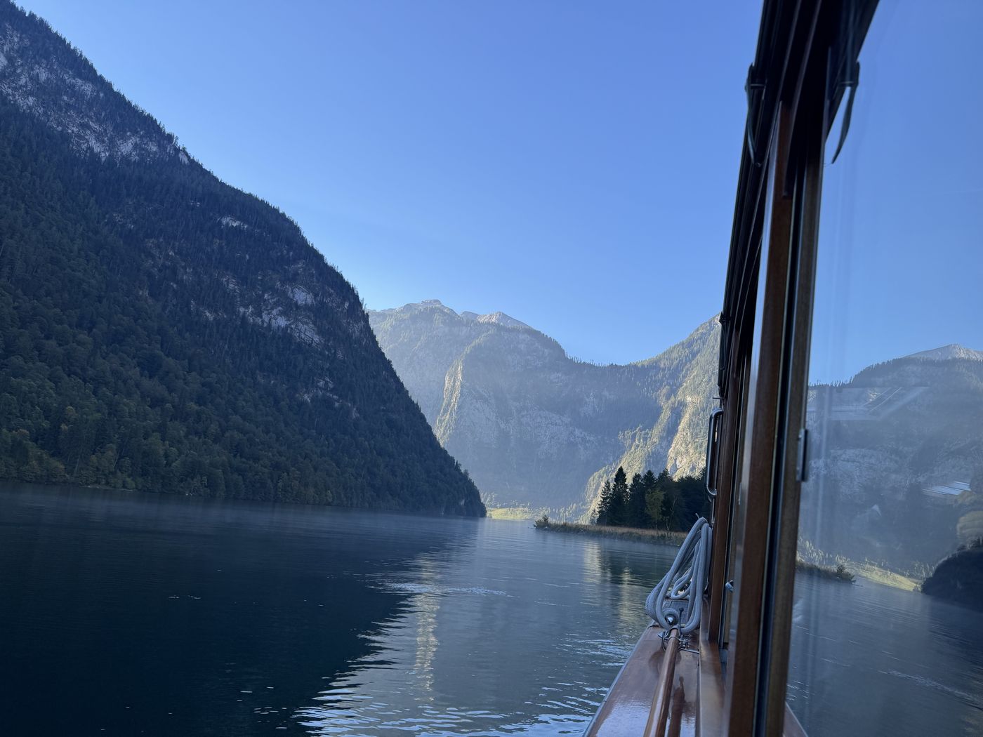
- By boat via St. Bartholomä all the way to Salet at the far end. A return ticket was almost €29 per person, and the boat ride drags on a bit at the end too.
- Parking
- At the Königssee parking lot — easy by phone, though not cheap.
- Food stop
- None this time. No alpine hut and no Kaiserschmarrn, so sadly no ranking possible.
- What it’s like
- Quite demanding and good for sweating with the incline, T3 in places. At the top it’s still a good stretch over to the lake.
- Who it’s for
- Definitely not for beginners, you need good stamina. And keep an eye on the last boat: that day it left the pier at 17:10.
The whole loop as a video on Instagram — starting point in Maps.
HikedOct 3
My take.
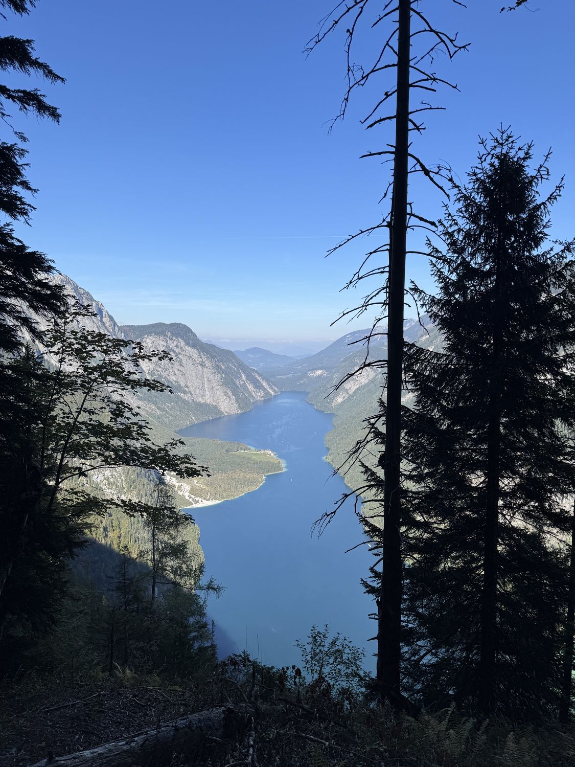
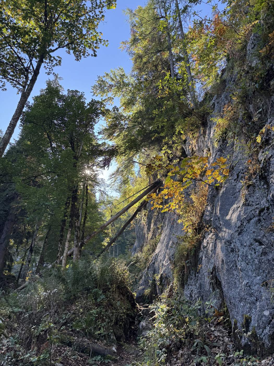
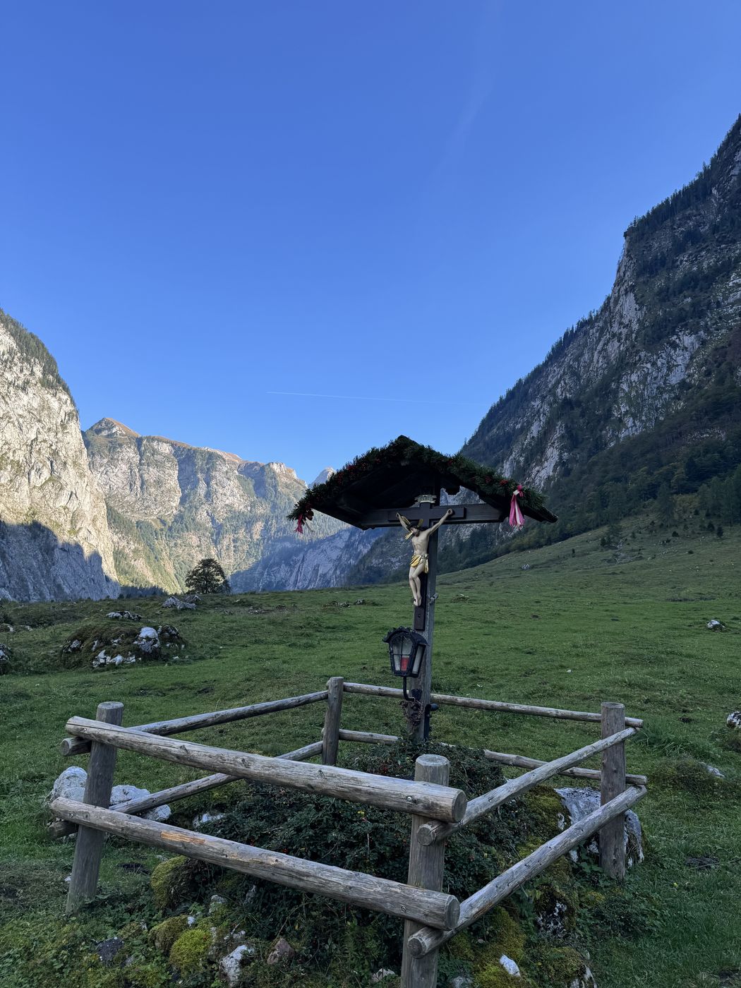
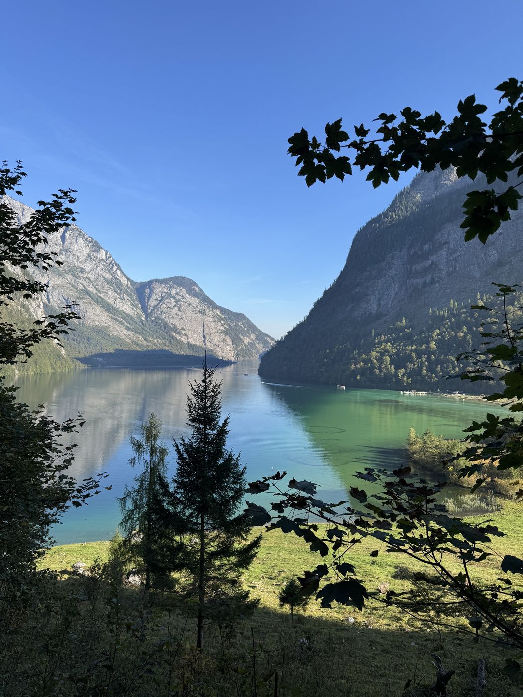
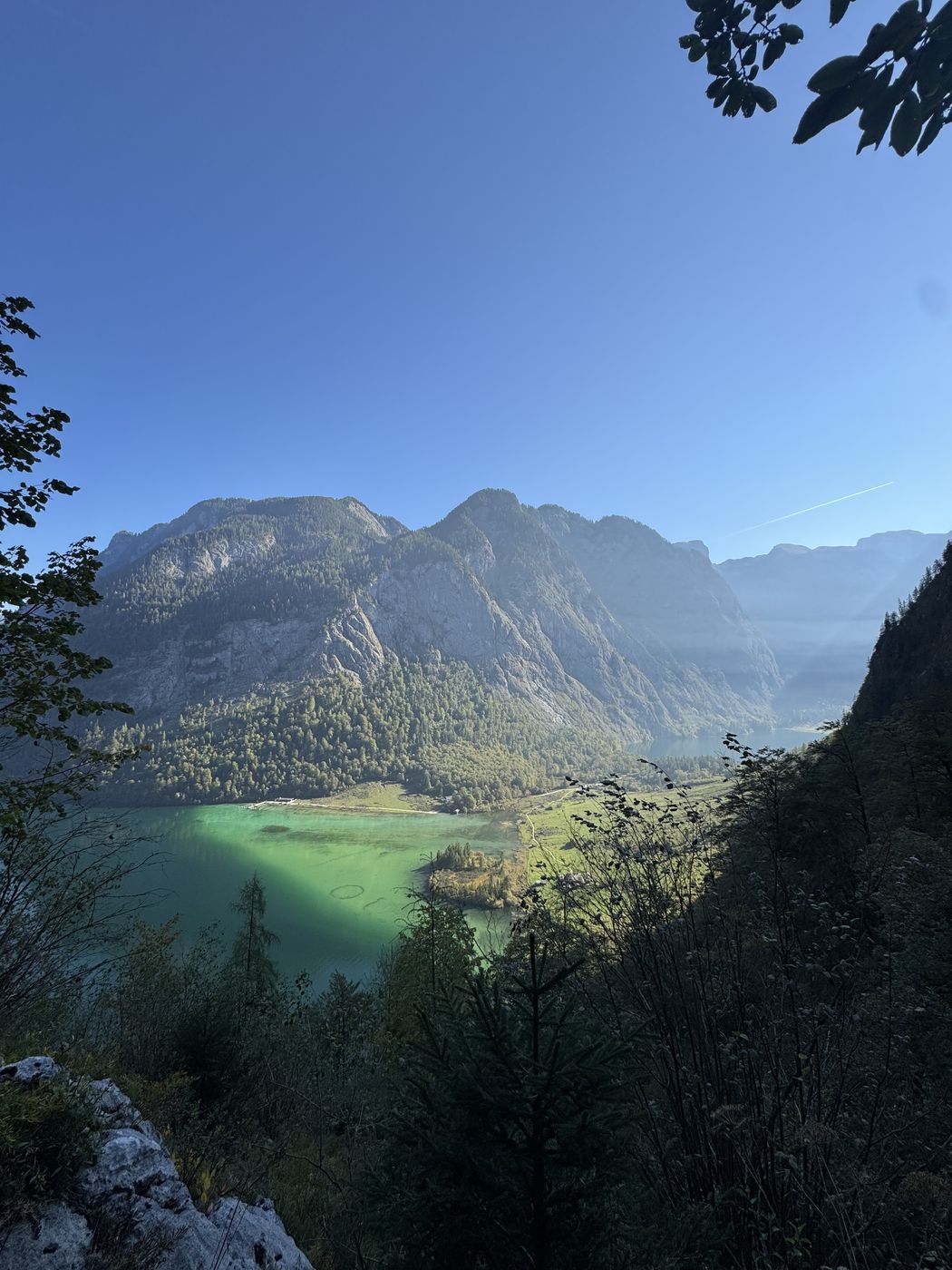
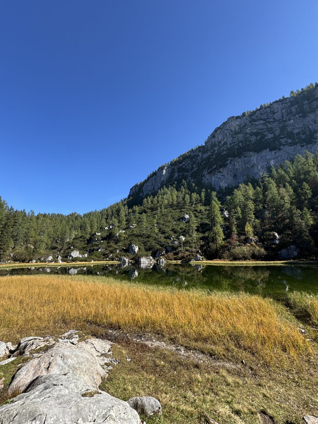
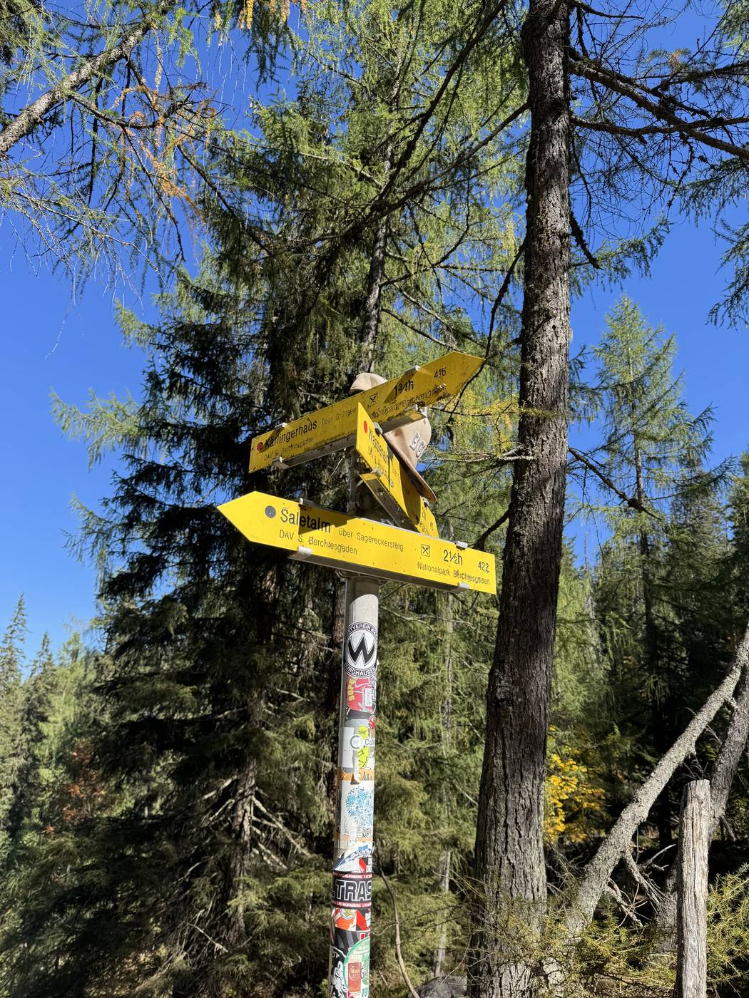
The plan was the Halsköpfl, in the end it became the Schwarzensee, or rather up and down the Sagereckersteig — which was totally fine. We took the first boat at 8:30 via St. Bartholomä and got off at the far end, started walking around 9:20, actually fairly late. That day there was also the cattle drive down from the Königssee and its alpine pastures. The trail itself was quite demanding and good for sweating with the incline, definitely not for beginners, you need good stamina. But still great views, for once from a different angle on the Königssee and the Watzmann east face. At the top it’s still a good stretch over to the Schwarzensee; to the right you’d head toward the hut or the Schönfeldspitze. We were a bit pressed for time, though, since the last boat that day leaves the pier at 17:10. Got down well, that was what mattered.
Hover to read the values
Recorded track
Don’t miss the next hike.
I track every hike myself. Sign up and you’ll be there when the next one goes online — with profile, photos and an honest take.
→ Sign up