Hulk HikesReit im Winkl · Chiemgau
HikedSep 13tracked myself
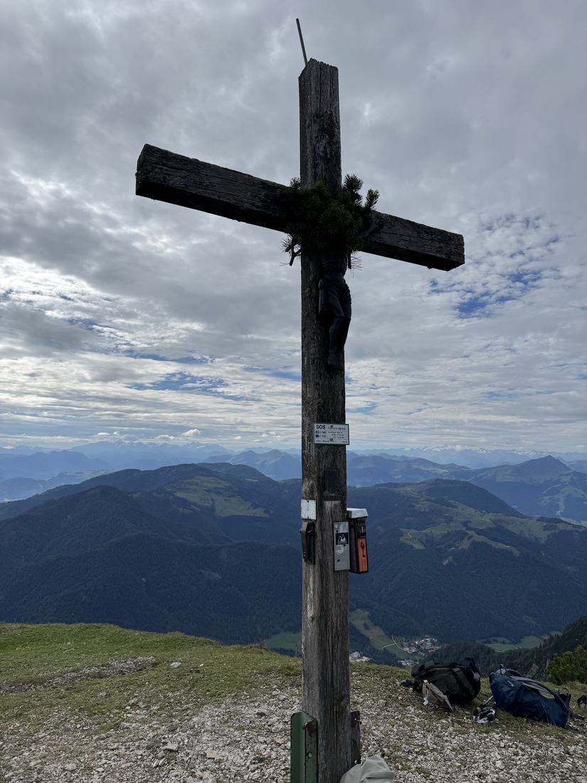
Fellhorn
1,764 mvia Reit im Winkl
My longest hike so far: 17.9 km, once across the border into Austria and back. Early on the weather looked meh, around noon it really cleared up.
Before you go
Quick notes for your backpack brain.
- Parking
- Down in Blindau, €5 day fee.
- Food stop
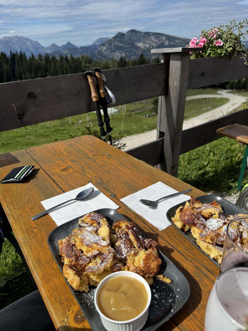
- Straubinger Haus at 1,558 m, just below the summit. Kaiserschmarrn €14.90 — a solid 7.5 out of 10.
- The trailhead
- The hardest part was finding it at all: narrow, inconspicuous, barely marked until the gravel road. Look at it carefully beforehand.
- What it’s like
- Long rather than steep. From the Straubinger Haus another 40 minutes over rock and roots. At the top: grass, still really green in September.
- The descent
- Gravel road, then the concrete road at the Hemmersuppenalm — so steep that your knees lose out.
The whole loop as a video on Instagram — starting point in Maps.
HikedSep 13
My take.
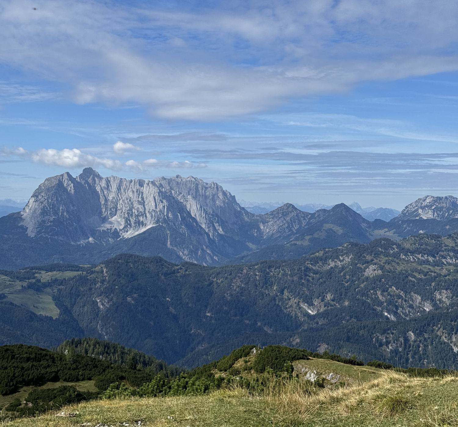
Got up at four, at the parking lot at half six — and then first we had to look for the path. In the morning the weather didn’t look that crazy, around noon it really cleared up. At the top the Wilder Kaiser, the Steinplatte, all of it. Down via the concrete road at the Hemmersuppenalm: so steep that my kneecaps still hold it against me today.
- 4:00 got up
- 6:41 set off from the parking lot
- around noon at the summit, weather clear
- 14:04 back at the car
7:23 h from bottom to bottom, a good five of them moving. The last 1.3 kilometers from the Straubinger Haus alone ate up 40 minutes.
Hover to read the values
Recorded track

Don’t miss the next hike.
I track every hike myself. Sign up and you’ll be there when the next one goes online — with profile, photos and an honest take.
→ Sign up