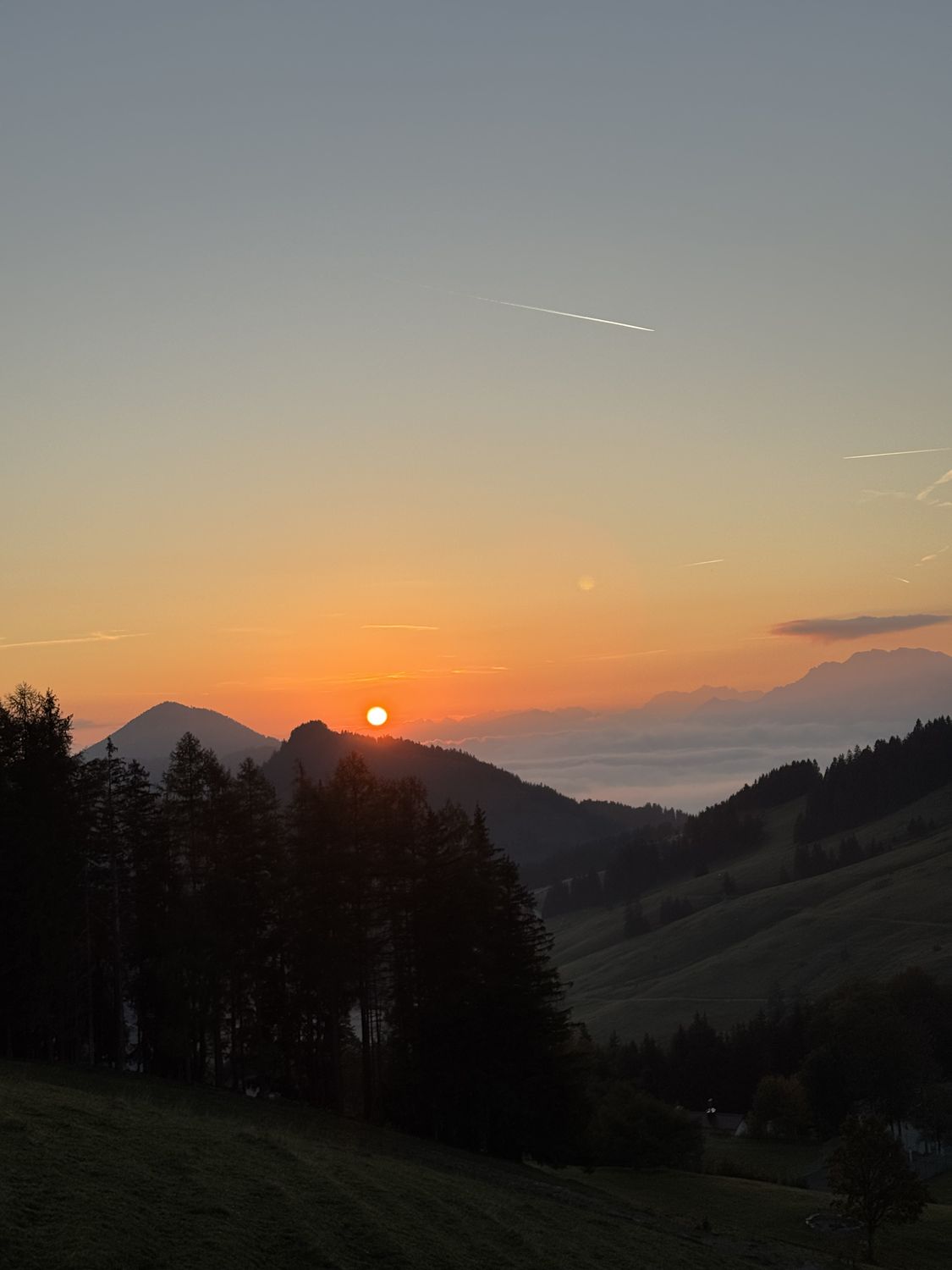
Hulk HikesMangfall Mountains
HikedOct 4tracked myself
Wendelstein
1,838 mfrom Lower Sudelfeld
“Really felt the sore muscles from the day before, but I was happy to have been above 1,800 meters.”
Before you go
Quick notes for your backpack brain.
- Parking
- At Lower Sudelfeld — apparently free.
- Food stop
- Wendelsteinhaus, self-service. Sadly NO Kaiserschmarrn, which was pretty cheeky, and the prices really aren’t cheap. Can’t be helped: fries, a butter pretzel and a latte macchiato.
- What it’s like
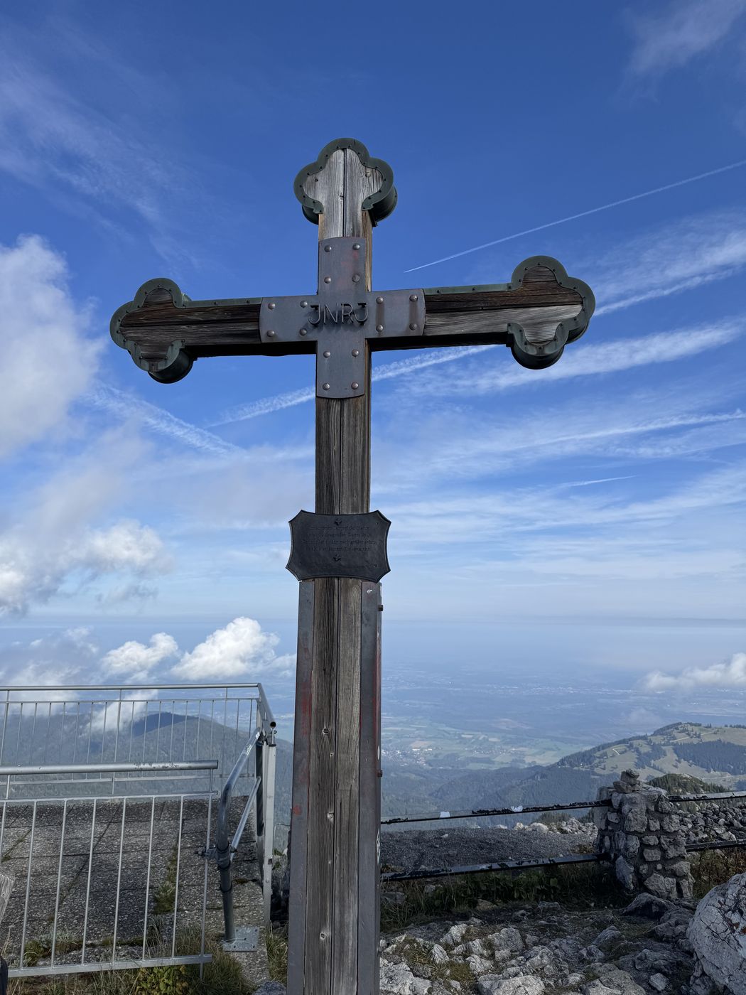
- A really nice path at first, then a stretch that was fairly hard or unmarked — we had to improvise. From the inn it’s another good 100 m of elevation, or 15–20 minutes, up to the cross.
- At the top
- Really relaxed today. Lots of day-trippers in street shoes because of the Wendelstein cable car and the train, oh well. View: top.
The whole loop as a video on Instagram — starting point in Maps.
HikedOct 4
My take.
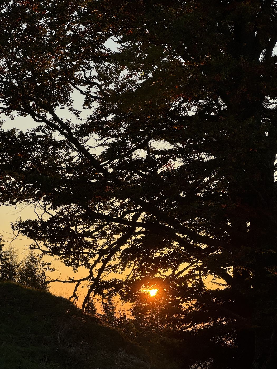
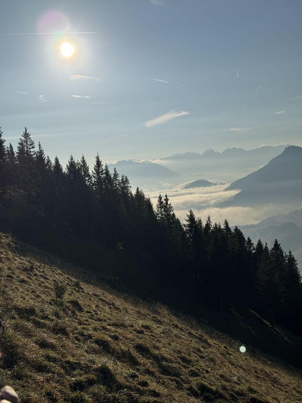
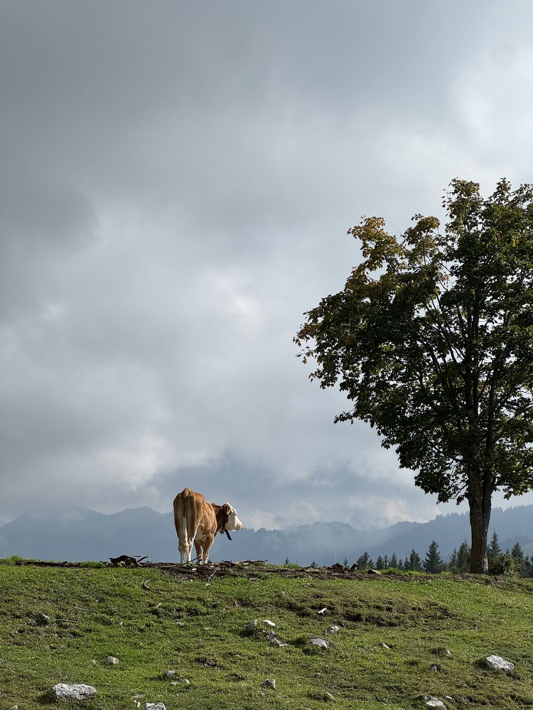
The Wendelstein was the plan, from Lower Sudelfeld. We left home at 5:30, then started walking around 7. A really nice path at first, then a stretch was fairly hard or unmarked, we had to improvise and got a bit lost because of it. That way it took a good bit of energy, though. We then came out higher up, below the Wendelstein massif, and that was really impressive. Saw a few chamois. The weather was top. Until we reached the house there was still a good amount of elevation, it dragged on. We also crossed the Wendelstein cable car, which was fun to see. Once you reach the inn, it’s another good 100 meters of elevation, or 15–20 minutes, up to the summit cross. The summit log is tucked away in a chapel. The way down was pretty long again. View: top.
Hover to read the values
Recorded track

Don’t miss the next hike.
I track every hike myself. Sign up and you’ll be there when the next one goes online — with profile, photos and an honest take.
→ Sign up