VEGETARIANHULK Deutsch

Hulk HikesChiemgau Alps

HikedSep 20tracked myself

Hörndlwand

1,684 mfour crosses above the Weitsee

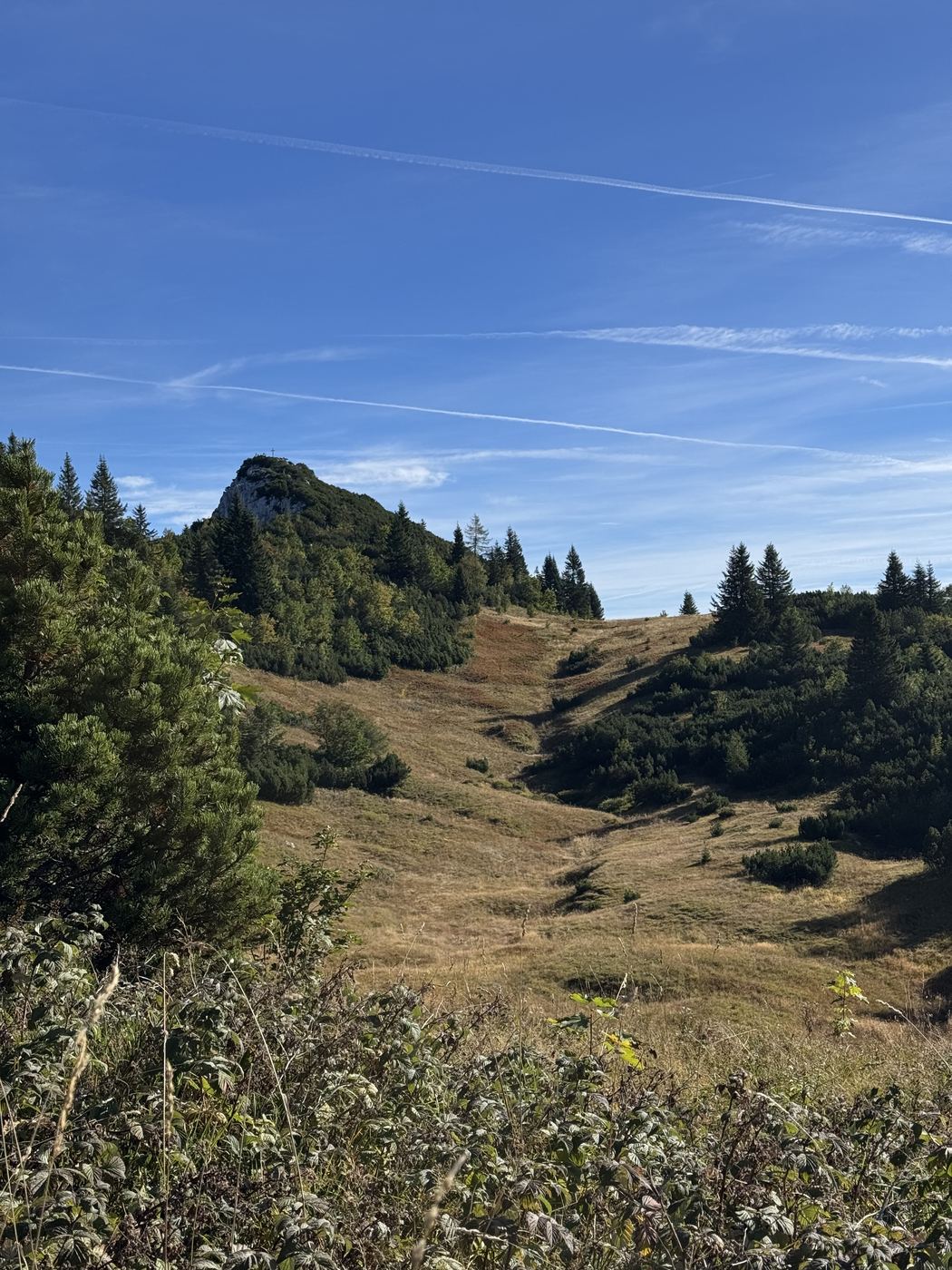
“Then we spontaneously went for the 1st summit, actually only the Hörndlwand was planned.” In the end we stood at four crosses, all between 1,682 and 1,694 m.

15.10km loop
1,096elevation gain
4Summit crosses
1,694m highest point
5:41 hmoving
T3all the way

Before you go

Quick notes for your backpack brain.

Parking
At the Weitsee — we didn’t take the standard route, but went straight up from there.
Food stop
None on the loop. We had Kaiserschmarrn afterwards at the Ruhpoldinger Hof — fairly standard, 6 out of 10.
What it’s like
T3 all the way. Lots of switchbacks up, dwarf pines and rock with roots at the top. Going down, it’s fairly poorly signposted.
Who it’s for
A good fit if you’re sure-footed on steep paths and have a head for heights. Probably not if you need a hut halfway.

The whole loop as a video on Instagram — starting point in Maps.

HikedSep 20

My take.

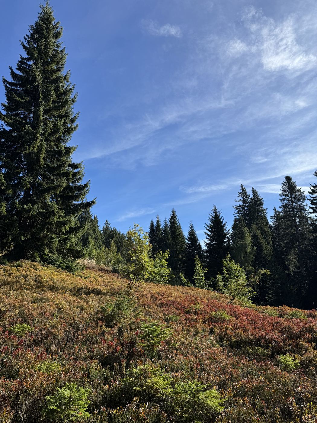
At the start it was ultra foggy — until I got above it. Then lots of switchbacks up to a kind of high plateau, where autumn had already really kicked in and there were mushrooms everywhere. That’s where we spontaneously went for the first summit, actually only the Hörndlwand was planned. Getting up there you need to be sure-footed on steep paths and have a head for heights, then over to the main summit. Top sunny weather, caught the perfect autumn day. Our route was pretty lonely, at the top we met more people. At the end the switchbacks really dragged on again — but at 29 degrees, that’s understandable. All in all a good loop.
06:55started
23,626steps
115 bpmavg. heart rate
7:48 hon the trail
2,636kcal
Red-tinged blueberry leaves with a few spruces, blue sky with wispy clouds above.
“Where autumn had already really kicked in, and there were lots of mushrooms.”9:22 a.m.
Elevation profileLoop Start 777 m → 1,694 m → back
Gurnwandkopf · 1,694 m

Hover to read the values

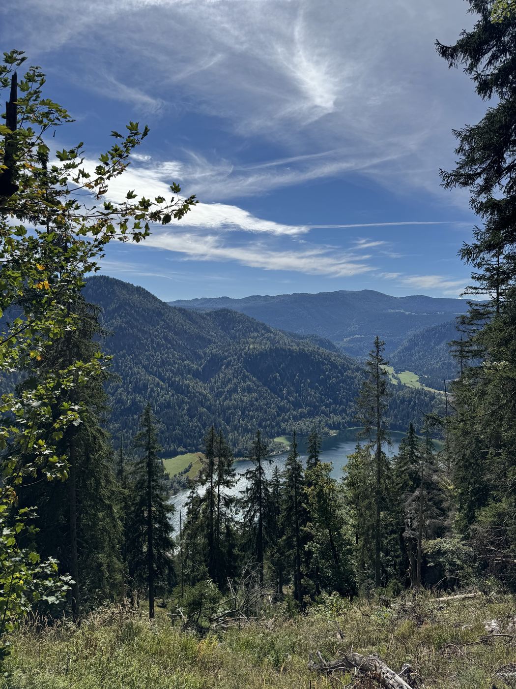
A view through foliage on the descent, down to the Weitsee deep in the valley.
“At the end the switchbacks really dragged on again, but at 29 degrees that’s pretty understandable.”1:25 p.m.
RouteRecorded track Start → Gurnwandkopf · 1,694 m
Start Gurnwandkopf

Recorded track

PhotosHörndlwand
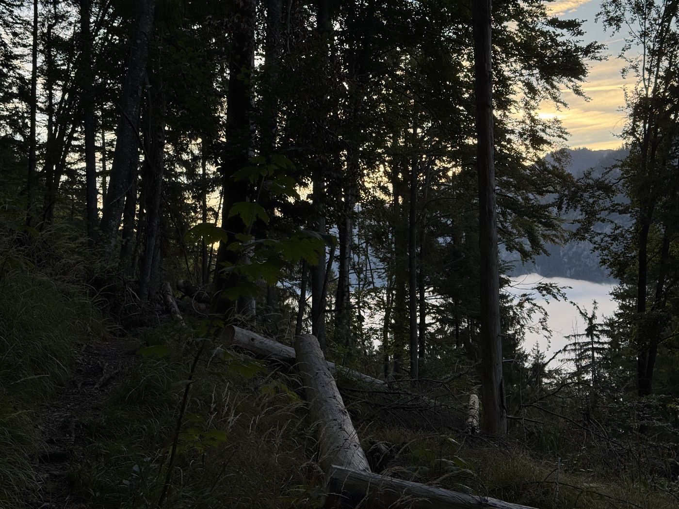
A view through spruce trunks onto the sea of fog in the valley, warm morning light from the right.
“At the start it was ultra foggy, until I got above it.” 7:11 a.m.
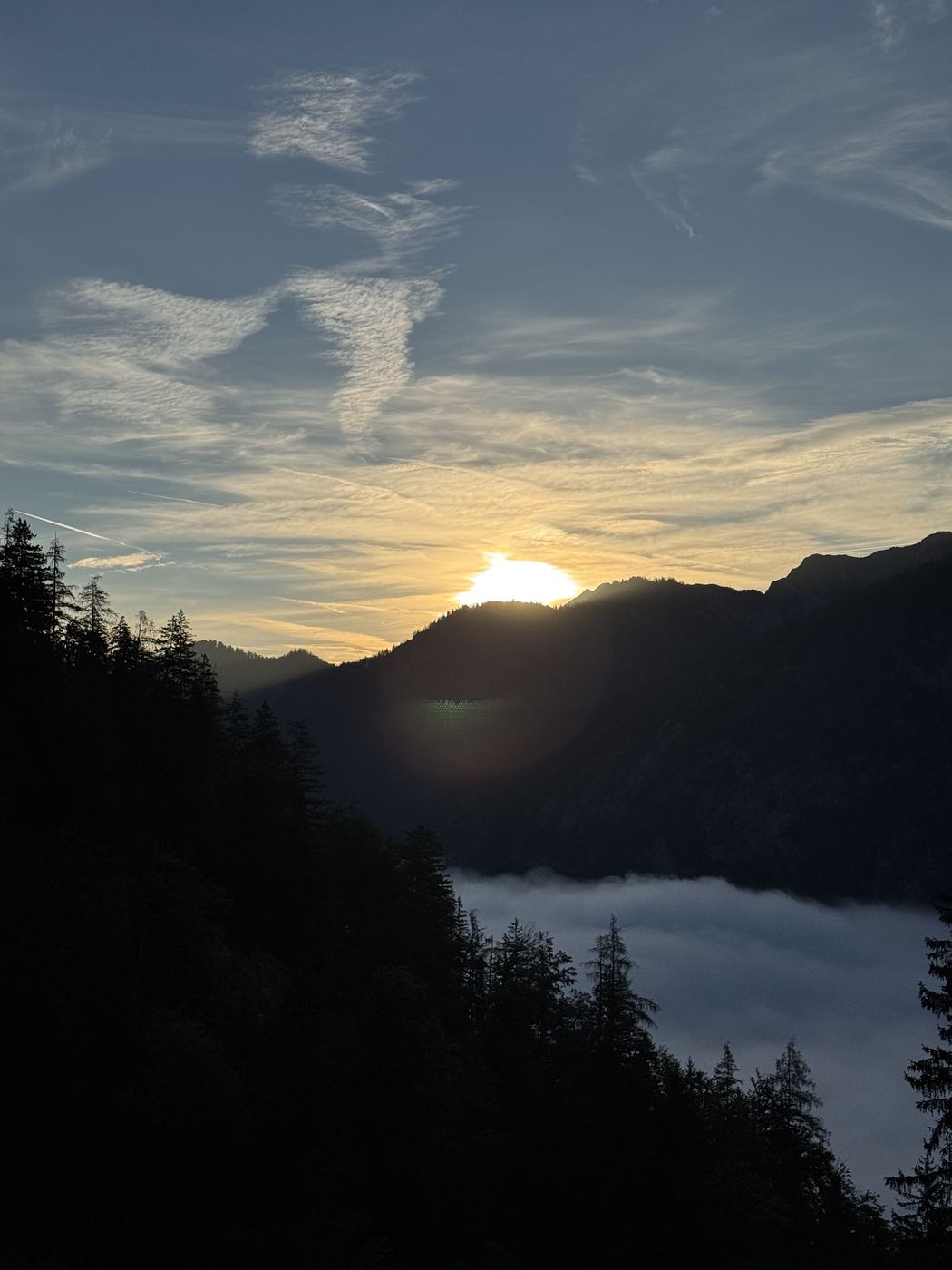
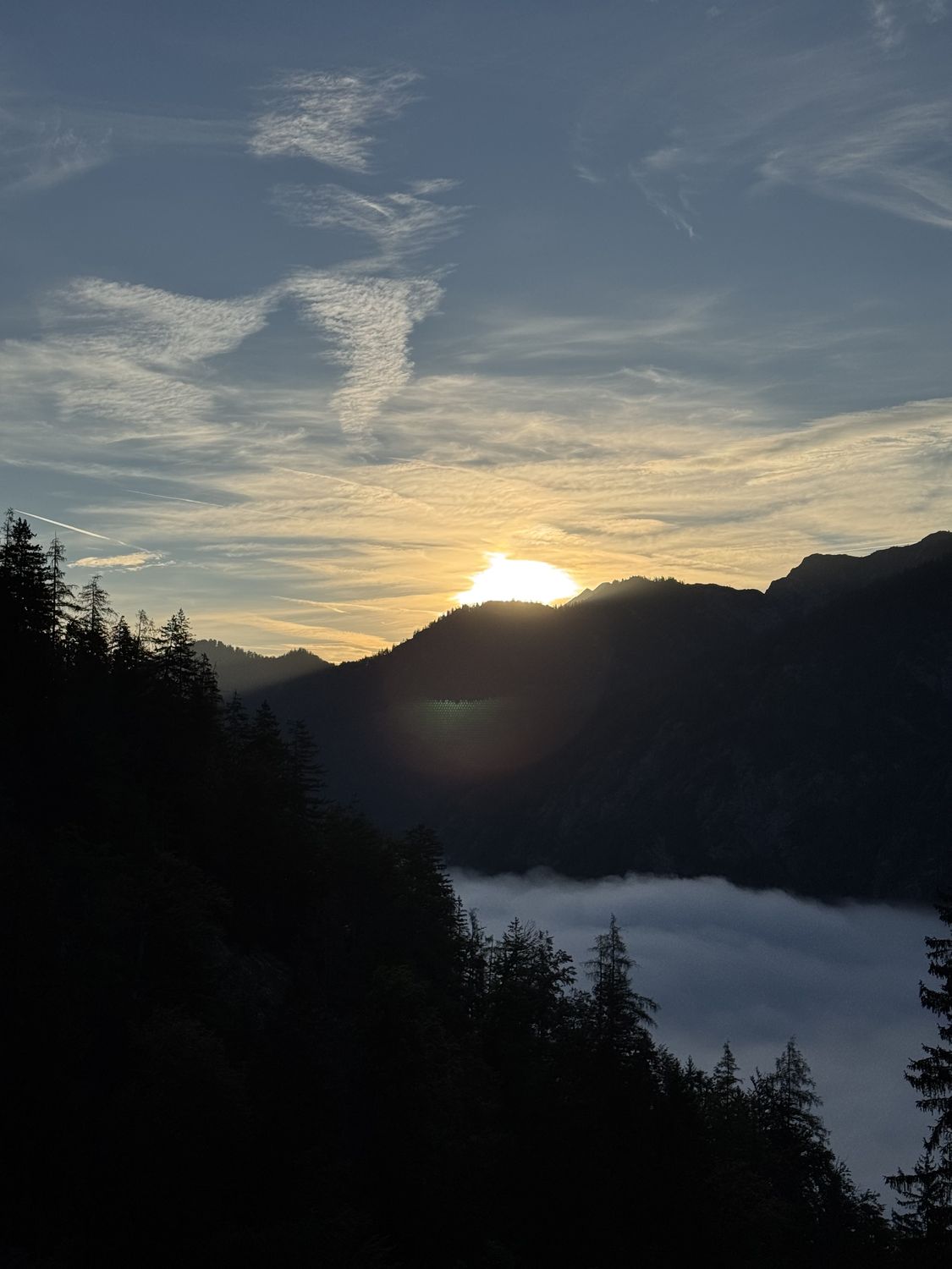
The sun rises behind a wooded ridge, a closed blanket of fog below.
“Top sunny weather, caught the perfect autumn day.” 7:30 a.m.
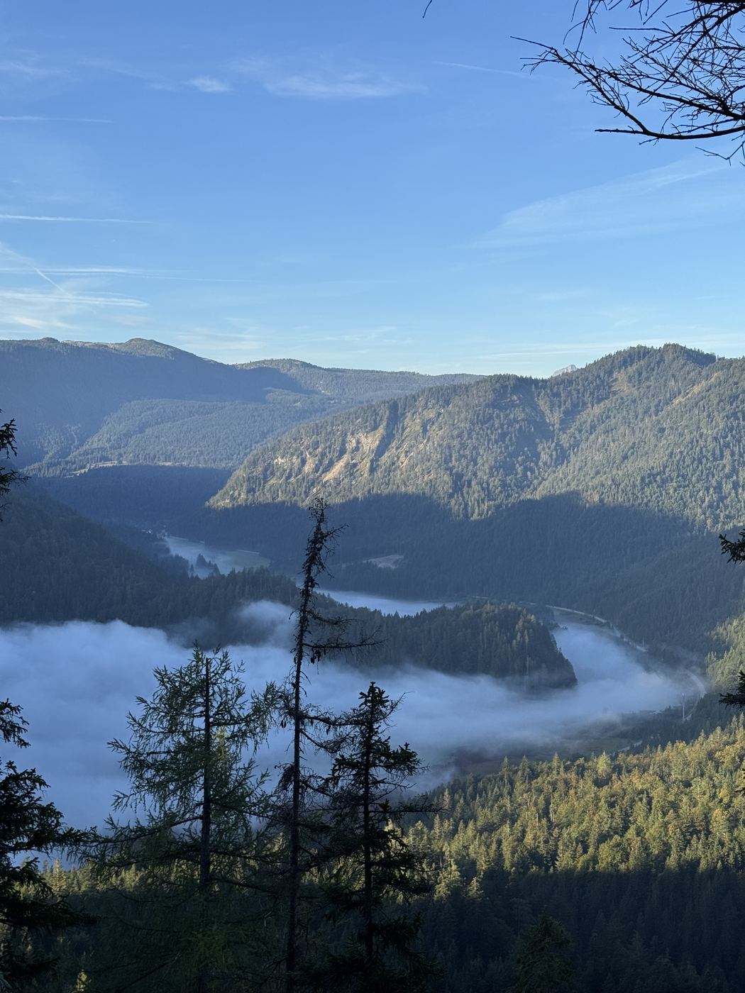
Banks of fog drift between wooded ridges, layered mountains behind.
“Our route was pretty lonely.” 7:57 a.m.
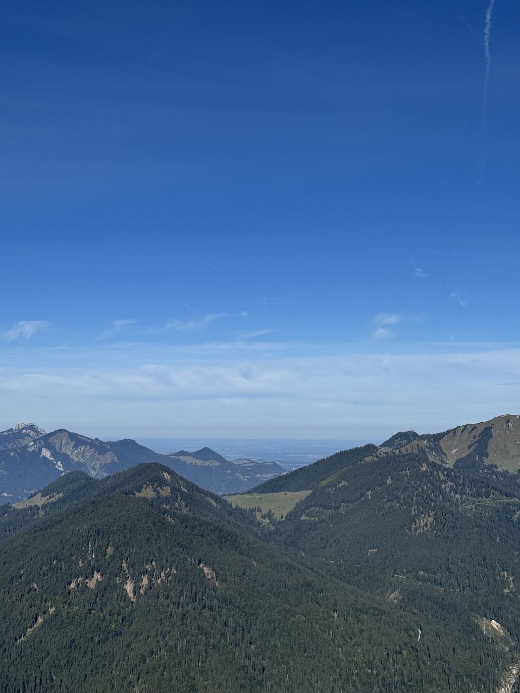
View from the first summit across layered ridges to the flat foothills.
“Then we spontaneously went for the 1st summit, actually only the Hörndlwand was planned.” 10:08 a.m.

Not planned

Four crosses in one day

Only the Hörndlwand was planned. The first summit got added spontaneously, and once we were up there anyway…
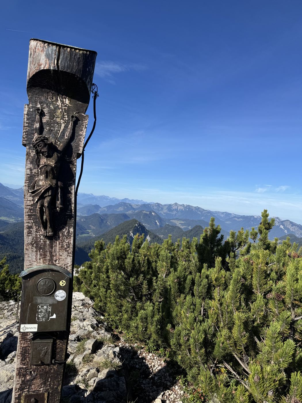
A dark, weathered wooden post with a carved figure and a summit box, the Berchtesgaden mountains behind.
Gurnwandkopf Summit1,694 m “Then we spontaneously went for the 1st summit.”
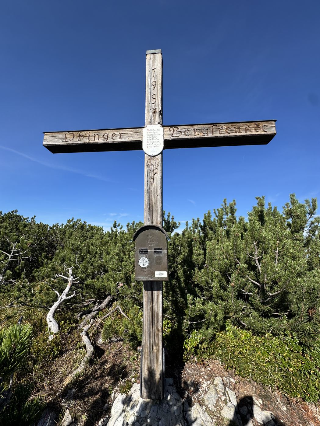
A pale wooden cross, the crossbar reads Obinger Bergfreunde, dwarf pines all around.
Obinger Kreuz Cross on the ridge1,692 m The crossbar reads “Obinger Bergfreunde”.
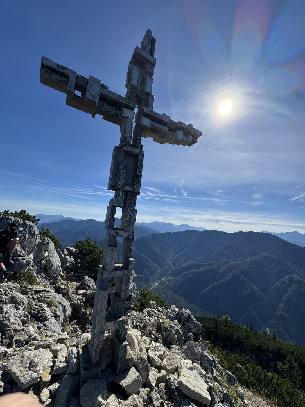
A tall summit cross made of bolted wood on a rocky ridge, the sun right next to it.
Hörndlwand Main summit1,682 m “Getting up there, you need to be sure-footed and have a head for heights.”
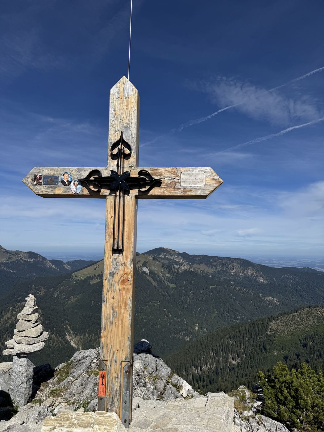
A summit cross with a horizontal sign and plaques, a stacked cairn beside it.
Hörndlwand east summit Summit1,685 m “At the top it’s a lot of dwarf pines and rock with roots.”

Don’t miss the next hike.

I track every hike myself. Sign up and you’ll be there when the next one goes online — with profile, photos and an honest take.

→ Sign up

← All Hulk Hikes